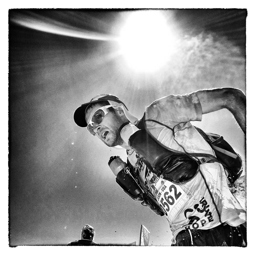
This article was first published by James on LinkedIn a few days ago and he kindly gave me permission to reproduce it for RunUltra. When I came across it, I thought how interesting it was and how it could be of use not only to runners wanting reassurance going out into the mountains, but to race directors planning their events.
Satellite tracking, I’ll try and tip toe through this subject without offending anyone. We often get asked to advise on satellite tracking, we do connect various devices to our platform and to be honest have yet to find the “perfect” device. Here is MY take on what is available.
To confirm every tracker, phone, satnav and many other devices use satellites to get their position – this topic is about how data is sent to our servers. The majority of what Open Tracking and their partners track is where the data is sent using cellular data (the same way your mobile talks to the world). This post is about using satellites to upload that data.
We are also only considering personal trackers – not vehicle / ship tracking, where the options to have a bigger battery / antennas / kit dare I say make things easier.
Lets puts one option on the table – PLB’s or personal locator beacons. Been used for years in the maritime industry. They are cheap to buy and if you find yourself in bother this is a very cheap way to hail for help where there is no mobile signal – its been legal to use them on land since 2012. They don’t need an ongoing contract – they are small and light. But you can’t use them to track anyone or to send messages back and forth – they really are an emergency device. They have their place.
At the moment – there are 2 systems in place for people tracking. Iridium which has global coverage and Globalstar which is focused over land masses. SPOT trackers use Globalstar, and the rest use iridium. Yep I know there are a few other systems out there but nothing that is available today commercially.
The options are relatively small – with Iridium we have bivy stick, Zoleo, Garmin Inreach and the Rockstar (YB Tracking). There are a few others under Iridium, but pricing puts them up in the $1000 range and they are usually aimed at the military market with various encryption technologies added (e.g. GSAT and Nal Research). The A Live is in the list but really has too smaller battery to be a serious product. They state it will last 4 days.. but when you poke, they assume that no one would exercise for more than 8hrs a day??
Both the Bivy Stick and ZOLEO products, heavily rely on a users mobile phone for management – so for instance they don’t send battery status with updates as the assumption is that the user can see this on their phone. They will also use the users mobile data to send messages if it is available. The target market is the “Back-Country” user in the states / Australia. The Zoleo product is by far the best made product we have looked at. Some thought has gone in to this, sadly the battery life was less than a day and far from the 6 days advertised. Still for event tracking we need to know battery status and we just not could get that data or live data streams from them.
The Garmin UK Inreach Mini is definitely one of the most popular devices as a personal tracker and the new “messenger” device looks really attractive for event tracking. We have seriously looked at getting a small fleet of these devices over the years – but the pricing just doesn’t work. With Garmin, not only do you have to pay a £35 activation fee but you also have to pay a deactivation fee. The data plans event with a fleet of trackers are priced pretty much the same as you would pay if you had 1 device. The maths for event tracking just don’t add up. But as a personal device if you are already using a Garmin device and have the cash for their monthly plans then this is a good option.
We then have Ground Control YB tracking and their Rockstar tracker. YB tracking is really set up for events with their core market in international sailing races. They do all the things that an event organiser needs, and importantly they have a decent fleet of trackers. The negatives are the weight – for runners they are a serious lump to carry, some 2-3x the weight of a Garmin Mini or a SPOT. Suffice to say the batteries do last longer but that is no solace to a runner who has to carry it.
Lastly we have the SPOT tracker – the device has so much going for it, and you can buy these devices for less than £100. The tracking plans are reasonably priced in comparison to other products. As a fleet owner you would get a discount on the hardware but again the airtime pricing is not that much different to the retail pricing. The is some bizarre differences in the types of data feeds we can get (push or XML) and how this is linked to various price plans.
The big BUT is the product just doesn’t track that well – we have tried and tried, and to confirm these trackers were placed high on the shoulder strap and travelling through areas with no tree cover. And since then we have seen similar results on the data feeds we get from our partners. To the point that there would be gaps of up to an hour. For us using this data to geo-fence checkpoints is not possible with SPOT trackers where timing is involved.
BUT if you are hiking the Appalachian Trail and really does it matter that your device doesn’t upload every 10 mins as long as it does it sometime in the hour – this solution is a very cost effective way of having satellite tracking.
Open Tracking’s platform can take data feeds from SPOT, Garmin and YB tracking. We are also in the process of enabling events to take feeds from multiple sources so – all the crew have SPOT devices, but teams have Garmin Inreach Mini’s.
We have our thoughts on the perfect device, maybe one day we will give it a crack to see if we can do it better, no small task.
I suspect this post will be followed up with Yeh But..
iPhones will soon have satellite connectivity – nice but not realistic solution for events and its being limited to SOS messaging (and is using the Globalstar network – same as SPOT)
Qualcomm have released Satellite messaging – yep and its only likely to be available on their top end chips for high end phones. You also have to line the phone up with a particular location in the sky to send a message – not really workable for tracking.
Bullitt Group Ltd are working with Motorola to release a satellite messaging service on the Defy phones – looks more interesting, but no plans for a tracker.
Best close your eyes if looking at the youtube videos of media types flying around in helicopters from CES in Las Vegas testing these devices out. I mean they could have just asked me.
One of the more exciting developments is SWARM – aimed at the “Internet of things” market.. e.g. remote weather stations, etc. The cost of running these things is very cheap, BUT there can be delays of 90 mins in getting the data. Once more satellites are up in the sky this will likely come down and this may prove to be an exciting system in the future. It’s also another Elon Musk company so subject to unpredictable price increases.
– best event tracker – YB Rockstar
– best personal tracker – Garmin Inreach Mini or Messenger
If there is something not on our list that should be, let us know – we maybe missing something.
James is director of Open Tracking